- Working at KSC
- NASA Old Headquarters building on KSC destroyed.
- Flintknapping points
- Vampires of Kennedy Space Center and the O&C
- Demons of Kennedy Space Center
- Demons of Kennedy Space Center, corpus callosotomy
- Ghosts of Kennedy Space Center, End of Spiders
- Dreams of Kennedy Space Center, lovers and pyramids.
- Witches of Kennedy Space Center
- Cave Bears of Kennedy Space Center
- Aliens of Kennedy Space Center, uninvited guests
- Remembering Kennedy Space Center
- Lake 33 Killing Relic
The Indian River Lagoon, an evolution in photos.
This page is intended an extension of my "History of the Indian River Lagoon" page.
The evolution and phases of the Indian River Lagoon can be studied & understood by using old photographs, charts and modern satellite pictures of underwater topography which will easily demonstrate the lagoon evolution.
Specifically "Dummit Creek" on north Merritt Island has the best examples of carving out the lagoon during the past five to seven thousand years of the lagoon and even some ghost stream relics from the Ice age.

Where is Dummit Creek & Dummit Cove? In the NASA credit photo above, I circled the creek on the Indian River. Oh yes, and the the two rockets in the photo? Launch Pad39A has a SpaceX Falcon and Pad 39B is NASA's SLS, Artemis-1.
Mosquito Lagoon in the background. But Dummit Creek is in far distance at the top of the photo.

1952 platt book of Dummit Cove.
In the photo is Haulover Canal (top of page) & Dummit Cove (Bottom of page) and the old Haulover canal that emptied into Dummit Cove.
Briefly, if you have not seen the other pages on the Indian River Lagoon: The Indian River Lagoon System is composed of three lagoons and tributaries stretching 156 miles from Ponce de Le León Inlet in Volusia Country Florida, south to Jupiter Inlet in Palm Beach County Florida.
The lagoons are the Banana River, Mosquito Lagoon and the Indian River.
For most of the time humans have lived in the lagoon area, the lagoon did not exist or existed only as a series of small streams.

My QCC expedition Kayak is my exploration tool for the Lagoon System.
The wide shallow water expanse of the lagoon is to be explained in that during the ice ages, this was grasslands or forest.

Black & white photo above is one representation of the river bottom and ancient stream beads

Photo above is another representation of the river bottom and ancient stream beads

The color photo above (from a fishing book) shows another ghost stream I outlined in color.
Basically the red line at the bottom is the rain or ground water eroded stream channel from Dummit creek.
While the double red/blue lines may indicate the tidal flow of the salt water flooding of the lagoon 5-7000 years ago.

Ghost streams of Dummit Creek.
The green edge is the current shoreline.
The Blue represents stage when the Indian River was dry but the Ice age had ended and there was increased rainfall.
The blue is probably a seasonal creek creek that attracted both animals and humans.
Windover Farm People would have lived along the blue lines.
The Orange represents the oldest and smallest stream, possibly during the Ice age when the Atlantic was 30 miles to the east.

Dummit Creek & the underwater erosion zone of the ancient water flow.

Ghost streams of Dummit Creek.
The Blue represents stage when the Indian River was dry and the blue is a creek that attracted both animals and humans.
The Orange represents the oldest and smallest stream, possibly during the Ice age when the Atlantic was 30 miles to the east.
The above photos are the reason why the Dummit Cove area is the best photographic record of a time when the lagoon did not exist and only feeder streams like Crane Creek or Dummit creek fed water into the prairies that existed during the dry seasons of the Ice Age and would one day become the Indian River Lagoon System.
Sykes Creek along Merritt Island also has other great underwater photos of Ice Age Streams and the Mosquito Lagoon underwater landscape still shows when the salt water of the Atlantic Ocean finally flooded the lagoon.
Couple of notes
Dummit Creek/Black Point area has the oldest human habitation site on Kennedy Space Center.
Pine Island/Sam's creek has the most recent mammoth fossils discovered.
Sikes Creek remains the King of Paleo spear points discovered around the space center.
Eye witness account of the formation/Flooding of the Lagoon.
(From Chapter One of my Florida history book, Freedom's Quest)
Return home from
"Indian River evolution" page.

My next book!! "Surviving Kennedy Space Center"
on Amazon.
Peek behind the curtains of the Shuttle and Artemis programs.

(Second to newest) My newest book, available on Amazon
(paperback and e-book)
For pet lovers around the globe, "It's a Matter of Luck" is a collection of heart warming stories of horse rescues from the slaughterhouse.
Available on Amazon

It's a Matter of Luck: Inspirational, Heartfelt Stories of Horses Given a Second Chance.
by Kim Ryba & Lina T. Lindgren
Warning: This book may cause your eyes to water in a good way. (speaking from experience after reading it)
Please give Kim and Lina a heartfelt review on Amazon!

Author Bruce Ryba at Kennedy Space Center Launch Pad 39B & Artemis 1. "We are going to the Moon!"
Author's discussion (that's me) on You Tube of a book review on Amazon
For the video versions of information, please check out my YouTube Channel (Turkeys, Flintknapping, dive stories etc.)
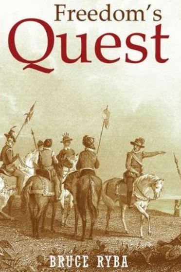
My fictional series/stories on Florida history:
Freedoms Quest (book one)
Struggle for the northern frontier and other lost tales of old Florida.
Available on Amazon

Desperate times call for bold action.
In a desperate move to retain Florida and protect the treasure-laden galleons on their dangerous return journey to Europe, the King of Spain issues a royal decree offering refuge to all English slaves who escape Florida and pick up a musket to defend the coquina walls of Saint Augustine.
In another bold gamble, the King offers refuge to the dissatisfied Indian nations of the southeast who will take up arms against the English.
Clans, traumatized by war and disease, cross the Spanish Frontier to settle the cattle-rich land and burned missions of Florida.
Follow the descendants of the conquistador Louis Castillo in remote Spanish Florida, a wild and swept by diseases, hurricanes, and northern invasions.
Book Two: End of Empire Available on Amazon!